Clwydian Hills WalksWalking Routes & Hiking Trails
Find Clwydian Hills walks from the list below which features the best walking routes in the area. Most are circular walks and are listed from the shortest and easiest to the longest more challenging routes.
The Clwydian Hills walks listed below allow you to explore this area which offers an excellent ridge towards the north and rolling hills to the south. The Offa's Dyke Path crosses the northern ridge. Highlights include Moel Famau and Moel Arthur which like most of the summits offer fine views including west to Snowdonia. All the walks are free to download and print, and all routes have GPS files.
| Walk | Description | Grade | Miles |
|---|---|---|---|
| 3655★☩ | Rhewl, Moel y Gamelin & Moel Morfydd | moderate | 5.40 |
| 1912★☩ | Moel Famau and the Clwydian Hills from Cilcain | moderate | 7.00 |
| 1885★☩ | Moel Arthur and Penycloddiau | moderate | 7.50 |
| 1259★☩ | Foel Fenli & Moel Famau from Loggerheads | moderate | 9.50 |
| 2509★☩ | Moel Arthur & Moel Famau from Cilcain | moderate | 10.00 |
| 1528★☩ | Moel Famau from Bwlch Penbarra | easy/mod | 10.00 |
| 2550★☩ | Cilcain, Moel Arthur & Moel Famau from Cilcain | mod/hard | 13.00 |
★ GPS file ☩ Route profile
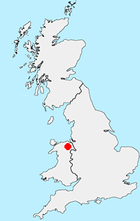
Location Map
Clwydian Hills Guide
The Clwydian Hills stretch for about 20 miles, rising between the Vale of Clwyd to the west and the Dee Estuary to the east. This line of undulating hills have steep slopes to their west providing excellent views as far as Snowdonia. In contrast to the moorland character of the summits the surrounding valleys are lush and green.
Clwydian-Hills Walking Guide
Other walks in Britain - For a list of all the areas where walks are available go to the Main Walk Index.
Walk grading - Learn how each walk is assessed and select a walk to suit your ability and experience by going to Walk Grading Details.
Messaging & Social Media
Message Walking Britain and follow the latest news.

Mountain Weather
Stay safe on the mountains with detailed weather forecasts - for iOS devices or for Android devices.